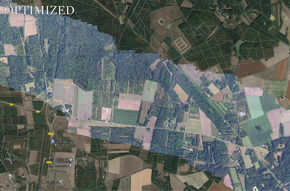
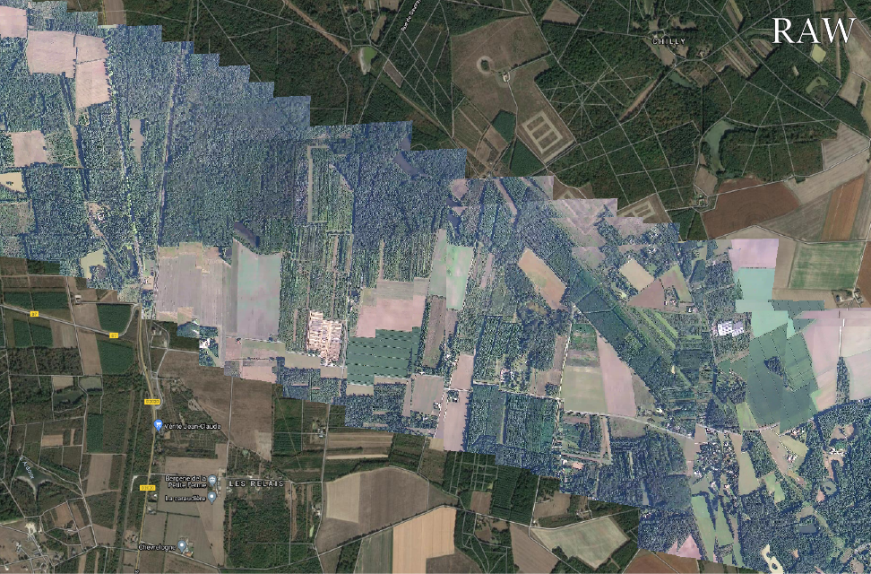
The georeferencing optimization algorithm takes as input a standard NATO STANAG4609 stream. It will recompute sensors and camera parameters with the help of reference ortho-image and DEM. The metadata fields related to platform location, gimbal orientation and camera focal length are updated in the output STANAG4609 stream, allowing a better georeferencing.
This algorithm takes as input a standard NATO STANAG4609 stream and produces ortho-rectified mosaics of the overflown area. Selecting key images from the video stream, it ortho-rectifies them and merges them to create geo-referenced ortho-images that are compatible with any GIS system. These ortho-images can be used to detect changes between a reference and the present moment, or to geolocate important features such as forest fires.
Experimenting GNSS loss ? Flying in GPS scrambled areas ? This software performs visual based localisation and can be used as a temporary substitute for your GNSS. Enclosed in a thight-coupling algorithm using inertial measuremnt and flight data, the software proceeds to relative step-by-step localization (SLAM) simultaneously with a low frequency absolute registration on a reference orthophoto (GEOLOC).
Deep convolutive neural networks detect various types of targets such as cars, pedestrians, trucks and many others. We offer a baseline of a few detectors performing single class or multiple class object detection. Our team can also train new neural networks in order to fit a specific need.
Based on a user or detector designation, this tracker can follow a target or a specific region of the image. The neural network based solution is robust to changes in appearance and long occultation and can help lock a gimbal or a UAV on a fix or moving object.
This multiple targets ID tracker performs temporal association of targets provided by an external detector. It assigns a unique ID to each target and performs trajectory estimation in the image frame of reference.
Compensation of residual gimbal vibrations and movement. High frequency vibration are smoothed while allowing desired gimbal motion. The video stabilisation enables a higher comfort while analyzing the videos together with higher performance in following processings such as compression, target detection and tracking or advanced geo-analysis.
When the UAV or gimbal are moving or turning fast, it is sometimes hard to keep track of the region of interest in the resulting video. Thanks to this tool, the global image is translated and rotated to ensure that the object of interest is locked at the center of the image. Target analysis by the operator is thus greatly eased.
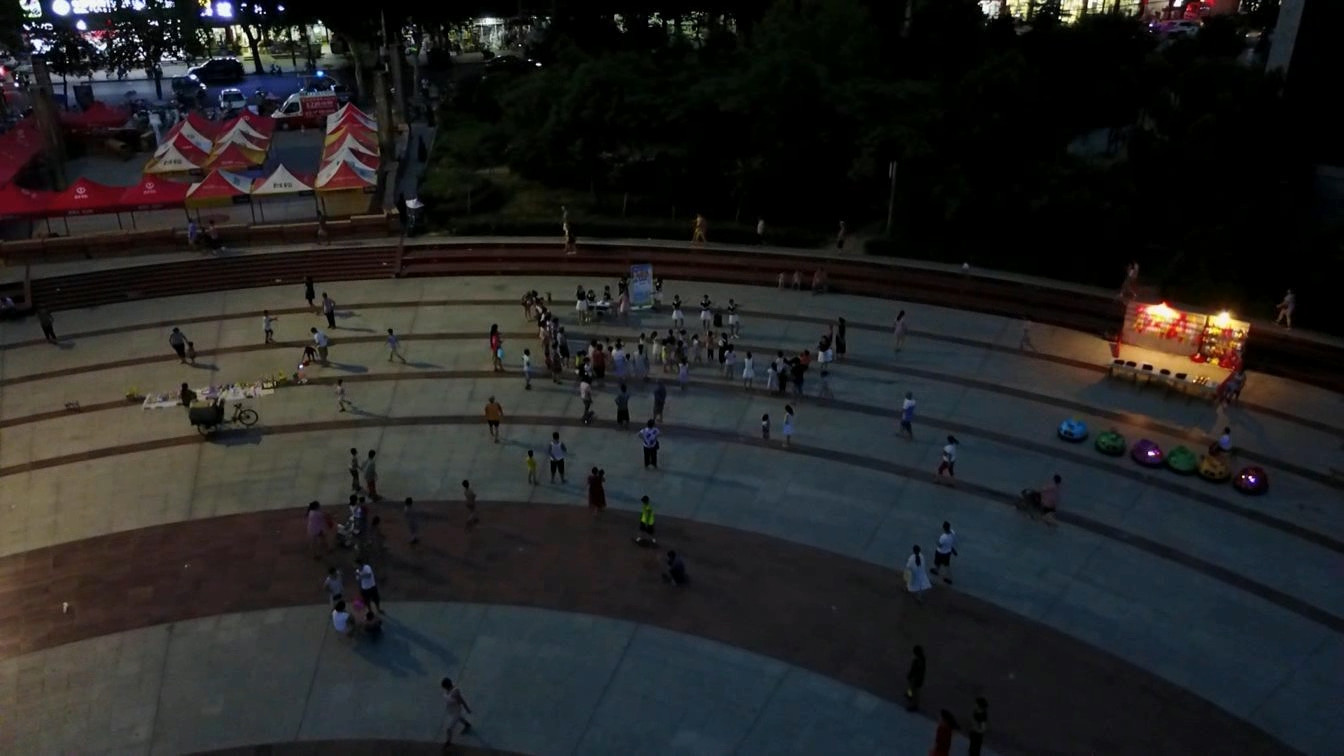
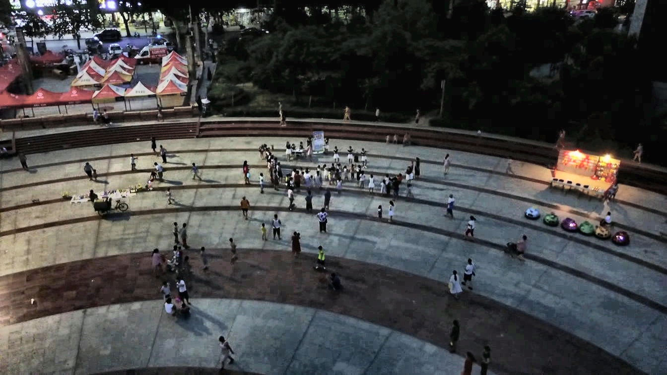
Enhancing contrast can help visually improve your video either for visual comfort, operator analysis or as input of other algorithms. Amongst others, this tool can help identify objects or targets in shadow areas.
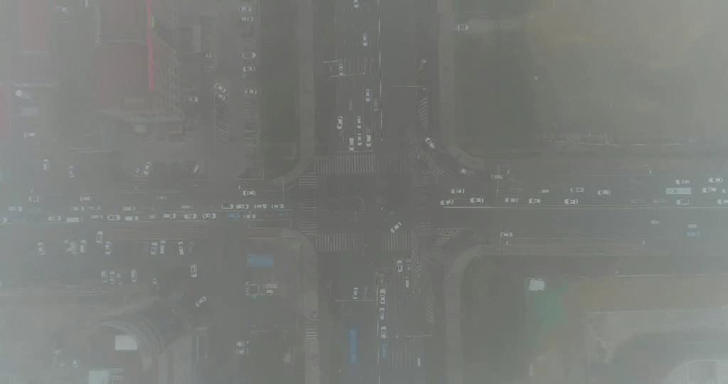
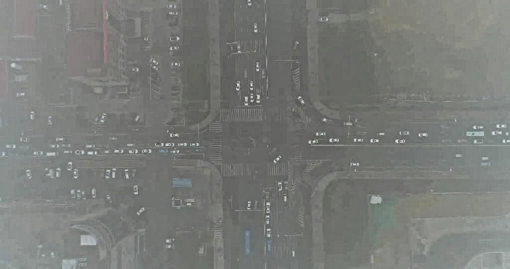
Experiencing image quality problems ? Poor signal-to-noise, defocusing or other sources of blur ? Try enhancing contours with this straight-forward state-of-the-art algorithm. It also perfoms well in complex observations conditions such as smoke, fog or with thermal imaging.
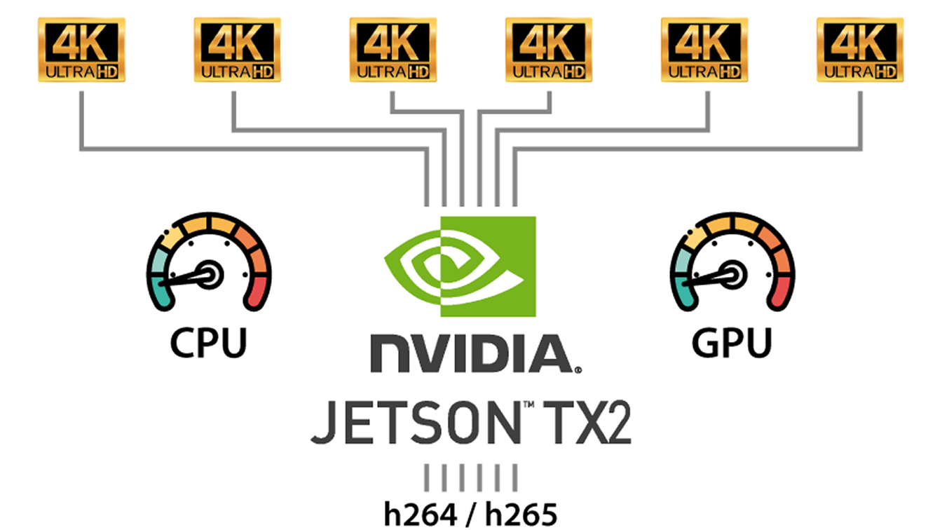
Based on the open-source video encoding library FFMPEG, we developed our own optimized API for easy use of encoding and decoding functions following the standards h264/h265. Our software runs on various platforms (windows, linux, ARM or x86) and fully exploits the specific video processing chips (intel or NVIDIA). This helps performing on-board video encoding with a minimum CPU/GPU usage and a low electrical power usage. ECV/DCV supports multi-stream encoding and decoding as well as metadata streams.
Integrate our software components inside your system
