File or stream
Real-time or image per image
Sync with display
Select the data to be overlaid
Browse the image while playing
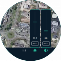
Colorimetry adjustment
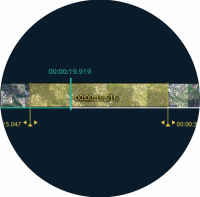
Split and extract
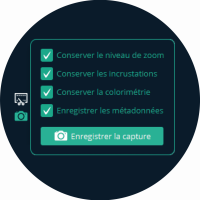
Screen and data capture
Available on
Features
Operational decision support
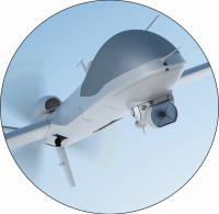
Air surveillance
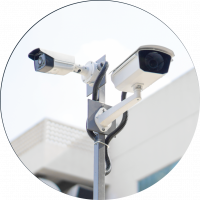
Security in sensitive areas
Create value for georeferenced video
Zoom and browse the images while playing
Colorimetry fine-tuning (brightness, contrast, reverse mode)
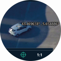
Display and store Coordinates for any image pixel
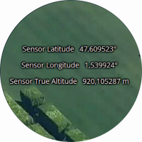
Show, hide and configure overlay for a selection of meta-data
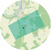
Geographical map with sensor’s position and image’s footprint
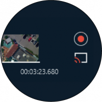
Record and Broadcast current images and meta-data
Extract a part of the video, directly from the timeline
Capture images with or without overlaid meta-data. Export meta-data


